Health

US scientists develop interactive map to show worldwide of coronavirus

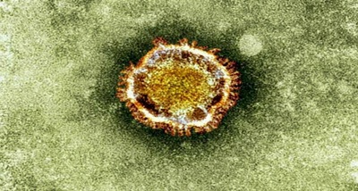
Scientists in the US have developed an interactive map of the novel coronavirus spread, that allows users to see the number of cases worldwide, recoveries and deaths, as well as trends in realtime.

The map s every few hours with data from the US Centres for Disease Control and Prevention, the World Health Organization (WHO), Chinese and other government agencies, including those in Hong Kong, Macau and Taiwan.

According to the researcher, by zooming in on various countries, such as China, users can see the number of cases, recoveries and deaths, as well as trends over time.

The outbreak of the coronavirus has been declared a public health emergency by the WHO.

Tens of thousands have been infected, and hundreds have died so far.

Click to comment

Leave a Reply

Your email address will not be published.

4 × one =

News is information about current events. News is provided through many different media: word of mouth, printing, postal systems, broadcasting, electronic communication, and also on the testimony of observers and witnesses to events. It is also used as a platform to manufacture opinion for the population.

Contact Info

Address:
D 601  Riddhi Sidhi CHSL
Unnant Nagar Road 2
Kamaraj Nagar, Goreagaon West
Mumbai 400062 .

Email Id: [email protected]

West Bengal

Eastern Regional Office
Indsamachar Digital Media
Siddha Gibson 1,
Gibson Lane, 1st floor, R. No. 114,
Kolkata – 700069.
West Bengal.

Office Address

251 B-Wing,First Floor,
Orchard Corporate Park, Royal Palms,
Arey Road, Goreagon East,
Mumbai – 400065.

Download Our Mobile App

IndSamachar Android App IndSamachar IOS App
To Top
WhatsApp WhatsApp us