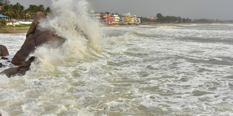
New Delhi: Super cyclone Amphan continues to be an extremely severe cyclonic storm over northwest Bay of Bengal on Wednesday morning with a wind speed of about 160 to 170kmph gusting to 180kmph. It lay only 120km east-southeast of Paradip; 200km south of Digha; 360km southwest of Khepupara in Bangladesh according to India Meteorological Department’s 9am bulletin.
Amphan will move north-northeastwards and cross West Bengal-Bangladesh coast between Digha and Hatiya Islands close to Sunderbans around Sagar Island today afternoon with a wind speed of 155 to 165kmph to 185kmph.
“There is no change in status. It continues to be an extremely severe cyclonic storm and very intense in nature. We are tracking its trajectory towards landfall closely,” said Sunita Devi, scientist in charge of cyclones at IMD.
Winds over coastal Odisha will be 100 to 110 gusting to 125kmph along and off Jagatsinghpur, Kendrapara and Bhadrak till afternoon on Wednesday and over Balasore till evening.
Storm surge during landfall ids expected to be 4 to 6 meters above astronomical tide in parts of West Bengal. The storm surge is expected to inundate low lying areas of south and North 24 Parganas and parts of East Medinipur district during landfall. Wind speed in Kolkata, Hooghly and Howrah is likely to range between 110kmph to 120kmph gusting to 130kmph which may cause extensive damage in urban areas also.